
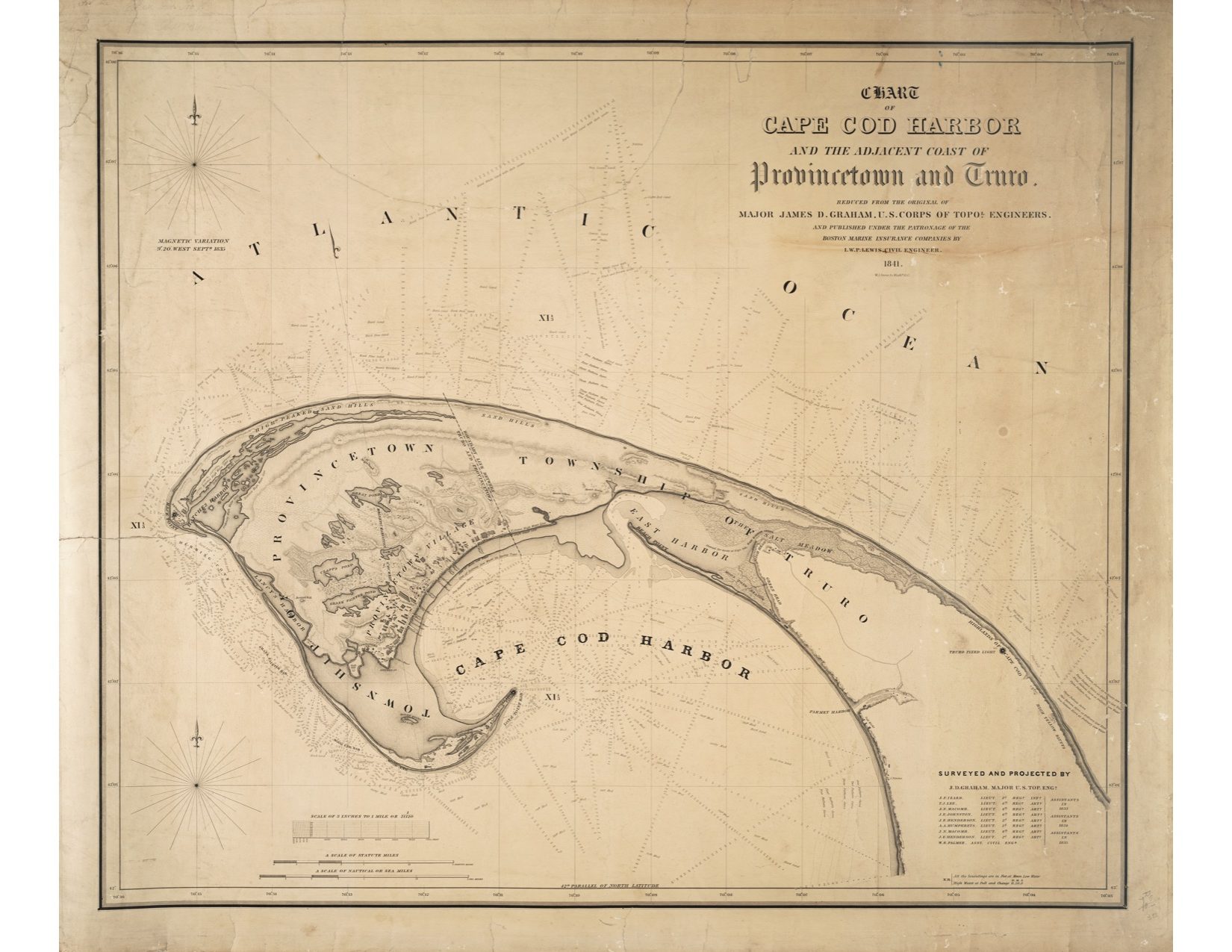
Chart of Cape Cod Harbor, 1841
by Major James D. Graham – Various Sizes
Price range: $70.00 through $100.00
This reproduction of a chart created in 1841 by Major James D. Graham of the U.S. Corps of Topographical Engineers, provides a detailed view of the ponds, dunes, and harbors in Provincetown and Truro.
Also included on the chart is Truro’s East Harbor, where in 1868 the inlet was filled in to make way for the railroad. This area is currently known as Pilgrim Lake, visible when traveling on Route 6 from Truro to Provincetown